
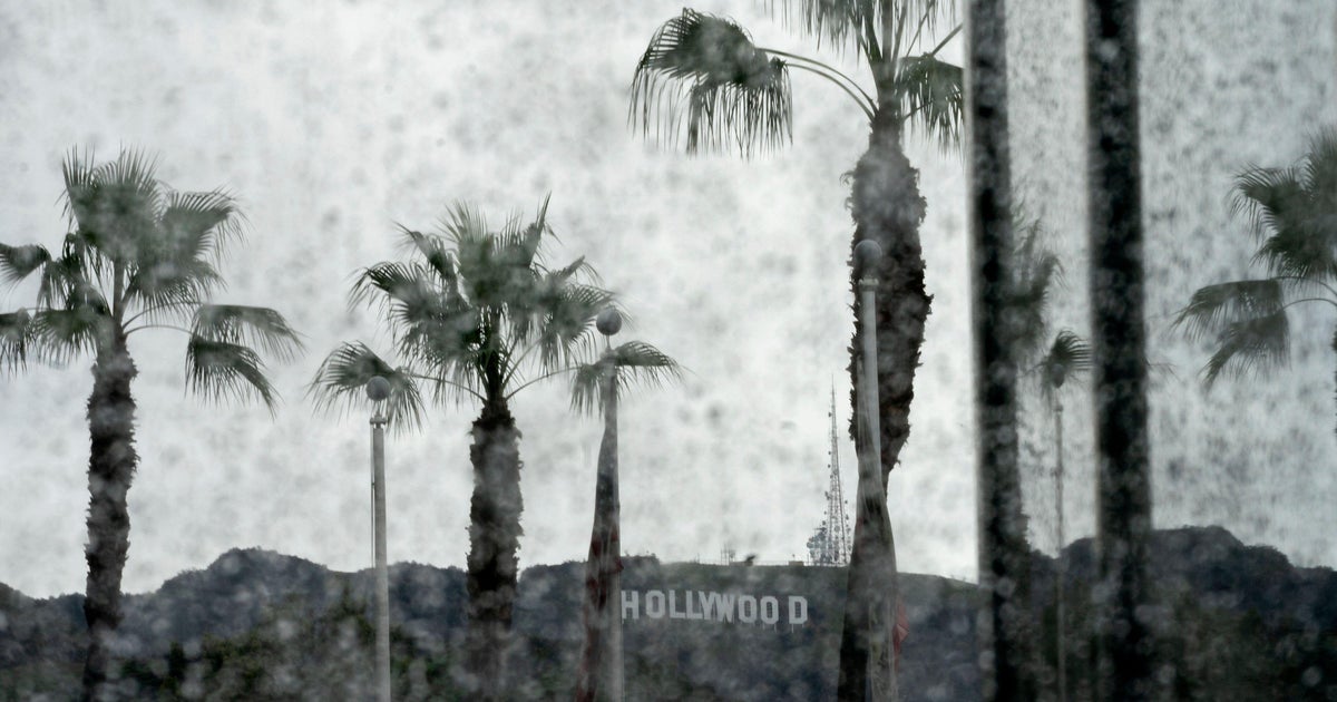
Residents across Southern California began to breathe easier on November 20, 2026, as Los Angeles County authorities officially lifted evacuation warnings that had shadowed several burn scar communities through a powerful rainstorm. The rapid improvement capped two days of weather-fueled anxiety for neighborhoods already vulnerable from recent wildfires.
Communities on Alert as Rainfall Threatened Debris Flows
Evacuation warnings were first issued the evening of November 18, targeting at-risk regions including Palisades, Hurst, Sunset, Eaton, Kenneth, and Canyon burn scar zones (abc7.com). With the prospect of up to five inches of rain in foothill areas and forecasters predicting the most intense downpours for November 19, local authorities warned that residents should be prepared to leave at a moment’s notice if flooding or debris flows became imminent (cbsnews.com).
Flood watches were posted for Ventura and Los Angeles counties, and the Los Angeles County Fire Department set the warning window from 6 p.m. Wednesday through Friday morning, amplifying concerns in communities already tested by wildfire trauma.
Storm Arrives, Calls for Caution Intensify
Throughout November 19, heavy rain drenched streets and triggered water rescues around Southern California. Roads flooded and advisories urged all at-risk residents to keep watch for potential sudden flash floods. Officials advised the public to monitor emergency alerts and prepare to act swiftly if new warnings emerged.
The most vulnerable districts—the ones denuded by fire and stripped of vegetative protection—had reason to stay particularly alert, as mudslides or debris movements can be sudden and deadly during major storms.
Warnings Lifted, Vigilance Remains
Late on November 19, conditions began improving. By November 20, the Los Angeles County emergency portal confirmed all evacuation warnings linked to the mid-November storm were lifted (lacounty.gov). Residents were thanked for “patience and cooperation,” but urged to remain alert for changing weather and to follow any future fire or law enforcement instructions.
Rainfall estimates over the course of the event ranged from one to three inches for most areas, with foothills and burn scars seeing higher totals but avoiding the catastrophic debris flows that prompted initial concerns. By Thursday evening, the storm was tapering off, and the region was expected to dry out heading into Friday and the weekend.
Historical and Ongoing Risks
Southern California’s burn scar zones will continue to demand monitoring during each major weather front, as the loss of hillside vegetation leaves homes and infrastructure more exposed to sudden environmental hazards. The prompt response and orderly lifting of warnings this week underscored the evolving readiness of local agencies and the resilience of affected communities.
No significant injuries or property losses were reported in connection with this event. Still, county officials and weather experts encourage all residents—particularly those near recent wildfire areas—to register for emergency alerts, stay informed and be prepared if future storms threaten.